 Close
Close

CASA Seminar Series 2024-25: Term 1
02 October 2024, 1:00 pm–2:00 pm
This academic seminar series explores a broad range of topics such as data science, urban planning and urban networks and their impact on the dynamic of cities.
Event Information
Open to
- All
Availability
- Yes
Organiser
-
Dr Fulvio D. Lopane
Location
-
CASA Room 106/107UCL Centre for Advanced Spatial Analysis90 Tottenham Court RoadLondonW1T 4TJ
The CASA seminar series explores topics like urbanism, data science, geography, planning, complexity, and network science. It is a chance to learn from experts in these fields and engage in discussions with fellow attendees. Each seminar will feature presentations and discussions, offering insights into how data science is impacting our understanding of cities, the ins and outs of urban planning, and the complexities of urban networks.
Whether you're a professional in these fields, a student looking to expand your knowledge, or just someone curious about the dynamics of cities, the CASA Seminar Series is a great opportunity to gain insights and connect with others who share your interests.
This series runs weekly in a hybrid format with the opportunity to join in person at CASA's Living Laboratory in London or engage online. The series is curated by Dr Fulvio Lopane and Dr Ollie Ballinger.
- 2 October | 13:00 | Gennadii Donchyts
Unlocking the Power of Google Earth Engine: A Guide to Best Practices for Geospatial Analysis
Abstract
This talk provides a walkthrough over some applications and best practices for utilising Google Earth Engine (GEE) in geospatial analysis. GEE offers a powerful cloud-based platform for processing vast geospatial datasets and conducting complex analyses, but effectively harnessing its capabilities requires understanding key strategies and techniques. We will cover topics such as: effective exploration of image collections, sampling and conditioning when working with noisy optical and radar satellite imagery at scale, how to use advanced AI models with GEE, and a few more to leverage GEE for advanced geospatial research.
Biography
Gennadii Donchyts is a Cloud Geographer at Google. He helps public and private sector customers to use Earth Engine and Google Cloud platforms across multiple industries in the EMEA region and beyond. With expertise in remote sensing and software engineering, he previously led research at Deltares as a principal scientist, focusing on Earth Observation and Earth Engine for water-related applications. Gennadii holds a PhD in remote sensing from Delft University of Technology, where he studied surface water mapping using open satellite imagery. He is a passionate coder and advocate for Earth Engine, geospatial technology, and machine learning.
More Information:
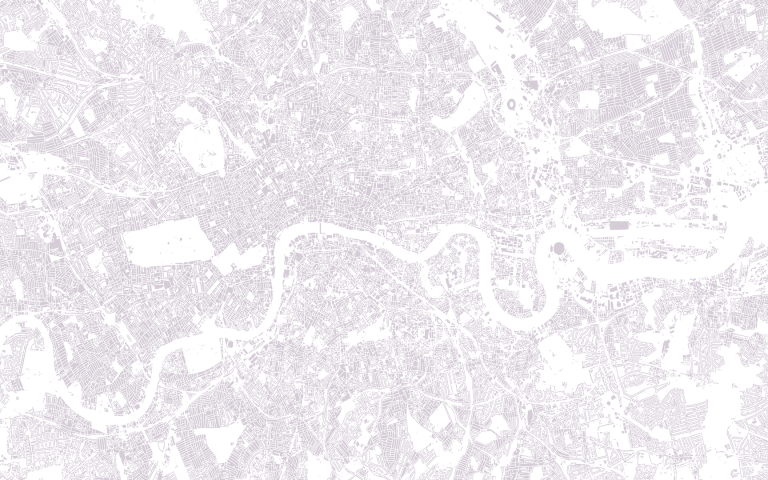
Image: Data Output created by Dr Fulvio Lopane from The London Data Store