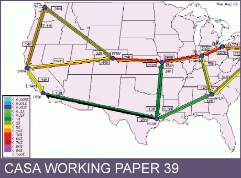
CASA Working Paper 39

1 December 2001
Examining Different Approaches to Mapping Internet Infrastructure
Over the last decade or so there has been a phenomenal growth in the use and diversity of information and communications technologies (ICTs), with the rise of Internet being of particular note. Current estimates, as of autumn 2001, are that 513 million people from around the world use the Internet for all manner of personal and business communications (Nua 2001). Concomitant to this growth, there has been a multi-billion dollar investment in vast assemblages of powerful computer servers and the infrastructure necessary to support current and projected demand in information processing and exchange, including long haul fibre-optic backbones networks to link countries and metropolitan cores, high-speed routers and switches, and ‘last-mile’ DSL and cable connections (see OECD 2001, TeleGeography 2001 for current statistics).
This strategic investment is designed to garner market share in the rapidly expanding information economy (worth a reported $775.6 billion in the US alone in 1999; US Census, Service Annual Survey 1999 1). Understanding the development and growth of ICTs, the myriad of their social, economic, and political consequences, as well as the practical tasks of planning infrastructure deployment, however, is no easy task. In this chapter, we argue that one useful strategy for analyzing and comprehending the Internet is the application of concepts and techniques from cartography and geographic visualization.
This working paper is available as a PDF. The file size is 4.17MB.
Authors: Martin Dodge, Rob Kitchin
Publication Date: 1/12/2001
 Close
Close

