CASA Working Paper 45

1 February 2002
Usability Testing for improving interactive Geovisualization techniques
Usability describes a product's fitness for use according to a set of predefined criteria. Whatever the aim of the product, it should facilitate users' tasks or enhance their performance by providing appropriate analysis tools. In both cases, the main interest is to satisfy users in terms of providing relevant functionality which they find fit for purpose.
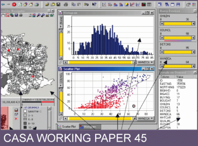
'Testing usability means making sure that people can find and work with [a product's] functions to meet their needs' (Dumas and Redish, 1999: 4). It is therefore concerned with establishing whether people can use a product to complete their tasks with ease and at the same time help them complete their jobs more effectively. This document describes the findings of a usability study carried out on DecisionSite Map Interaction Services (Map IS). DecisionSite, a product of Spotfire, Inc.,1 is an interactive system for the visual and dynamic exploration of data designed for supporting decisionmaking. The system was coupled to ArcExplorer (forming DecisionSite Map IS) to provide limited GIS functionality (simple user interface, basic tools, and data management) and support users of spatial data. Hence, this study set out to test the suitability of the coupling between the two software components (DecisionSite and ArcExplorer) for the purpose of exploring spatial data. The first section briefly discusses DecisionSite's visualization functionality. The second section describes the test goals, its design, the participants and data used. The following section concentrates on the analysis of results, while the final section discusses future areas of research and possible development.
This working paper is available as a PDF. The file size is 417KB.
Authors: Carolina Tobon
Publication Date: 1/2/2002
 Close
Close

