Navigation: Navigation, Way Finding and Tracking
We are developing a variety of projects which involve navigation and movement in real and virtual urban environments.
28 November 2016
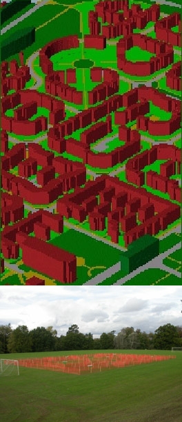
Our main project is based on measuring and modelling children's activities, perceptions, and behaviour in the local environment (CAPABLE) through tracking their daily movements in school and the home, measuring their social networks, and logging their daily activities. From this, we are assembling a picture of their movements patterns and energy expenditures.
CAPABLE is a joint research project between four University College London (UCL) departments – CASA, Transport, the Bartlett and Psychology.
The main objectives of this research are: to understand the nature and structure of routes, spaces and networks as used and perceived by children; to assess the extent to which the local environment meets the needs of children and their activities; to develop a better understanding of the impact of the local environment on children's behaviour and spatial understanding; to develop, calibrate and apply models of children's spatial movement; and to estimate the potential for increased incidence of walking and other modes of movement such as cycling.

We are also looking at the interaction between environments, individuals and mobile technologies through wayfinding. This research aims at understanding people’s spatial behaviour and spatial information usage differences among individuals. It uses a novel conceptual framework for the interaction and information transaction between urban environments, individuals and mobile technologies.
One of the challenges is to objectively record the cognitive and behavioural processes when individuals use mobile technologies for wayfinding in urban settings. Therefore, in this research, an empirical approach is being implemented which combines immersive virtual environments, mobile devices and multi-source data collection methods to capture data in real-time on information transaction and individual behaviour in a dynamic environment. This is providing a rich data source detailing individual space-time behaviour for pedestrian wayfinding tasks. The approach seeks to identify and model the aggregate characteristics of wayfinding strategies, preferences for and intensity of use of different types of spatial information that differentiate particular user groups.
Many of our projects in CASA deal with movement in the more general sense through modelling agent interaction, transport and migration and most of our work is focussed on movement involving individuals without personal impairment. Our last project in this group involves research into those who are visually impaired, with a view to exploring how infrastructure and travelling aids might be improved for such groups. This project concentrates on the perception and cognition of space by the congenitally blind. The focus of the project is to advance the view that the congenitally blind are able to develop cognitive maps and configurational knowledge, but that these representations are constructed and structured based on tactile, proprioceptive and auditory senses. The research is being conducted with visually impaired subjects at the Royal London School for the Blind and involves collaboration with UCL’s Institute of Ophthalmology.
People
- David Banister
- Michael Batty
- Yi Gong
- Kay Kitazawa
- Paul Longley
- Chao Li
- Roger Mackett
- Victor Schinazi
 Close
Close

