The Moon in 1910
2 September 2013

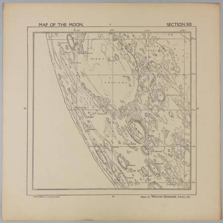
Among the treasure trove of historical space documents held by the Regional Planetary Image Facility at UCL is a 1910 map of the Moon. Hand drawn by Walter Goodacre, then president of the Lunar Section of the British Astronomical Association, this 25 part map is remarkably detailed, showing objects just a few kilometres across.
Observers today with modern telescopes do not see any more detail than Goodacre did a century ago if they observe the Moon from the UK. This is because of the turbulent atmosphere that degrades observations. Only observatories on mountaintops, space telescopes or, even better, space probes orbiting the Moon, can beat Goodacre's level of detail.
The full map of the Moon, along with other historical documents from UCL's collections, will be presented to the public at the European Planetary Science Congress exhibition next week, as part of the Festival of the Planets.
A selection of these, including a zoomable version of the whole of Goodacre's map, will also be published online on the MAPS Faculty website on Wednesday 5 September.
Watch this space.
Links
- UCL Regional Planetary Image Facility
- Centre for Planetary Science at UCL/Birkbeck
- Europlanet
- Festival of the Planets
High resolution image
This image is in the public domain and can be freely reproduced.
 Close
Close


